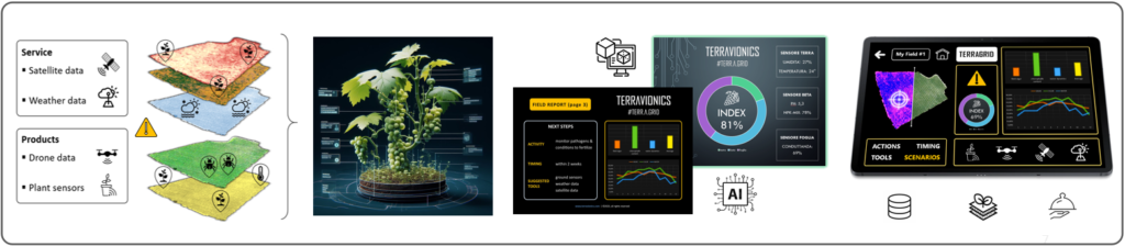
In our vision, hardware AND software elements converge. We offer products and services via a data-driven integration of satellite data, weather data, field sensors, imagery (from drones/rovers), which get combined withand our A.I. algorithms. Such input feed a mathematical digital model of the vineyard (Digital Twin), which returns predictive knowledge(ware), directly applicable by farmers/technicians themselves to their fields and production process, to make better decisions, through an intuitive UI. In an innovative way, that sees end-users directly involved in the co-design of the service.
Our intangibleware:
Focused on the UX and driven by sustainability and scalability over time and space, our proprietary mix integrates hardware, software and processes in an innovative proprietary production solution and business model architecture that sees end-users directly involved in the co-design of the service directed to them.
Our hardware:
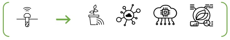
Networked field sensors (3 types)
Our software:
Earth Obsevation module, for field scan, mapping and segmentation. Plus GIS (Geographic Information System)
Modular analysis software that processes and combines both image data (multispectral from satellite and drones), as well as numerical data; in addition to other inputs. This layer interprets the measured phenomenon to predict scenarios through a proprietary A.I. + optimization formula (moreover, thanks to Machine Learning the process is recursive and increases accuracy over time)
The analysis feeds a DSS (Decision Support System) which returns not only analytics and alerts, but also guidelines to support informed decisions by the user

IN ADDITION TO THIS, WE WILL ALSO BE DEVELOPING:
Proprietary drone/rover models, manufactured in “lean” mode
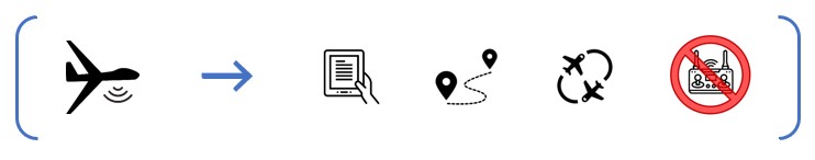
Scheduled launch/docking station